Stick-in-the-mud. It’s a common turn of phrase. Its earliest known usage was in 1832. Its meaning refers to being old-fashioned and unwilling to change as in “don’t be such a stick-in-the-mud!” The stick in this case refers not to a literal stick but to the verb ‘to stick’ or, past tense, to be stuck. If you are stuck in the mud, you aren’t moving forward.
Although a figurative expression, in the early 1900s many country folk were literally stuck in the mud. Rural roads were often no more than dirt tracks scraped into the earth. Road construction and maintenance at the time was bush league. Farmers, trading labor for property tax, would hitch a team of horses to a large log and scrape it along the route. This “grading” would roughly level the path and clear it of debris. Later wet weather and traffic would then purée the road into a rutted impassable morass.

Early Modern Road Building
Beginning in the 1750s, engineers attempted bringing modern science into road building efforts. Early efforts echoed techniques used by the Romans on the famed Appian Way. Deep trenching, steep elevations, and layer upon layer of hard rock paving resulted. Yet, despite their impressive designs, all these early efforts met with limited success. The combined forces of water and road traffic led to rutting, potholes, and mud. Rural residents, often farmers, were stuck in the mud for weeks or months at a time.
Farmers’ plight was not all due to engineering failings. Farmers could be stubborn stick-in-the-muds. Resistant to change, they liked trading a little labor for the option to not pay property tax in cash. It took the wide scale adoption of trucks by farmers in the 1920s to change their minds about roads.
Enter Macadam
Nineteenth century Scottish engineer John McAdam made the first breakthrough developing a practical paved road. McAdam determined layers upon layers of rock and steep road crowns were unnecessary. All a road needed was a hard top crust protecting the soil underneath from weather and wear. McAdam built his roads as level as possible with the surrounding land. On McAdam’s thoroughfares, the road’s crown was only three inches higher than its edges. This slight crown allowed rain to run off the road into ditches on either side. McAdam defeated rain, the formidable enemy of roads, using a hard crust of small stones. The foundation of the crust consisted of stones smashed into five centimeter pieces. The top layer used stones no larger than two centimeters. Typical carriage wheels were ten centimeters wide. Paving the road with smaller stones prevented displacement of the surface stones. This ensured the surface remained intact protecting the road from weather and traffic.
Gravel Roads to Paved Highways
These roads became known as macadamized roads and their surface as macadam. Building the protective crust from small stones eliminated expensive surface preparation. It also democratized road building. It allowed local communities throughout rural areas to build inexpensive macadam surfaced roads.
Later engineers built upon this road paving technique. Fast automobiles kicked up large amounts of dust on traditional macadamized roads. Engineers began spraying tar on macadamized roads to reduce dust. This technique became tar-bound macadam or tarmac. Growing use of automobiles fueled demand for smoother road surfaces. Before applying the final layer of stones, engineers mixed them with asphalt. Asphalt-bound macadam became known as blacktop. Construction of the first network of federal highways deployed much blacktop.

Interstate Highways – A Blast from the Past
Macadamized road construction techniques prevailed through the end of World War Two. The passage of the Interstate Highway Act in 1956 forced changes. Road construction tilted away from the low-cost, democratic techniques McAdam pioneered. Interstates utilized complex engineering methods. Interstate highway specifications required excavating deep trenches, lining the roadbed with cast reinforced concrete, and building up the road surface with many layers of concrete. This construction technique allowed interstates to support heavier over the road trucks and military traffic including armored tank convoys. They also echoed McAdams predecessors’ mimicking of even earlier Roman techniques. As America took on a new post-war role as a neo-Rome attempting to enforce a Cold War Pax-Americana globally, it needed – or wanted – an imperial road system to match.
A Neo-Appian Way
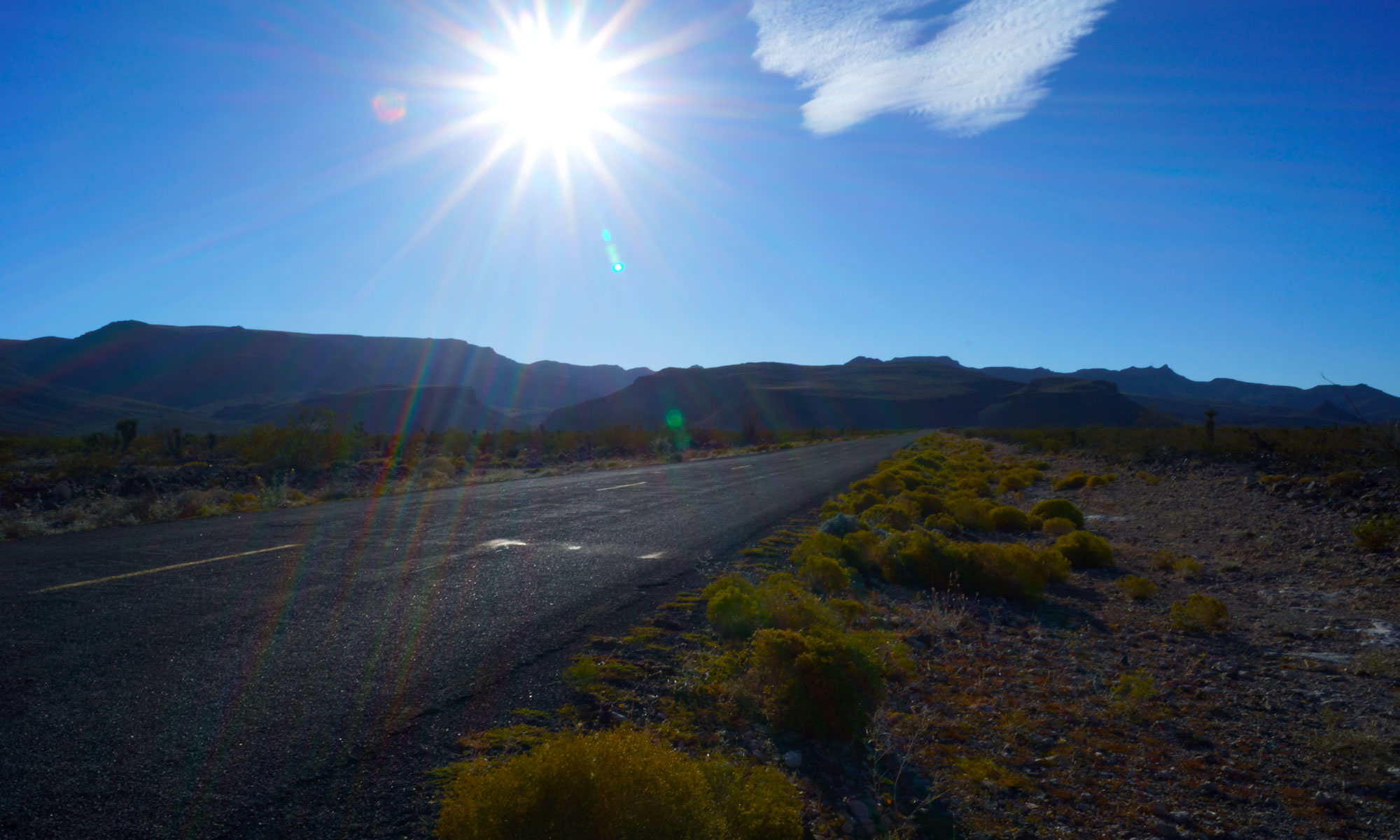
Abandoned Route 66 west of the Colorado River has withered into the desert. Without maintenance for over 50 years, it crumbled. Yearly rainfall run-off from the nearby mountains have washed it away. McAdam’s methods provided for a durable roadway that was easy to construct and maintain but made little permanent impact on the land. When no longer needed, the roadway could return to the earth. In Italy, portions of the Appian Way are still used. Often a layer of simple pavement covers the original Roman roadbed.
Standing on the remains of withered Route 66 looking east toward the Colorado, you can see I-40 and its massive bridge over the river. The deep road-bed channel cut into the earth lined with layers of concrete rival the river’s channel in depth and grandeur. As you stand in the desert taking in its sheer immensity, its contrast with the surrounding barren land is striking. One can imagine far-in-the-future travelers, echoing their medieval European predecessors, continuing to use I-40 ignorant of its origins.


You must be logged in to post a comment.